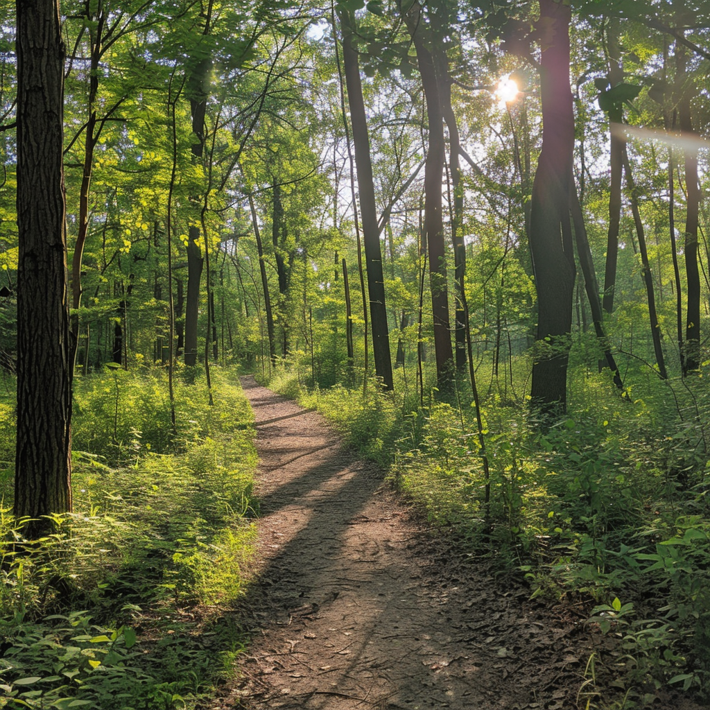
Central Hardwoods crosses LBL from Lake Barkley to Kentucky Lake, but few visitors need to walk all 11 miles. Seven access points make it a trail to tailor: a paved lakeside stretch on the east, compacted stone through the middle and west, and a practical out-and-back if no one is waiting with a second car.
Full trail: about 11 miles, end to end
Surface: 2.5 miles paved at the Lake Barkley end; 8.5 miles compacted stone westward
Use: walking and cycling
Access: seven named trailheads on the official map
Day-use rule: dawn to dusk; no camping
Where to start
For the paved portion, use the eastern access near Lake Barkley and check the Cumberland point on the map. Golden Pond Visitor Center is a convenient middle-area start with restrooms and a place to ask about conditions. Fenton serves the Kentucky Lake end. The other mapped access points are English Hill, Meredith, Sunset and Devil’s Elbow. Several are reached by numbered Forest Service roads; use the PDF rather than dropping a pin on a similarly named place.
Plan a walk that fits
Pick a turnaround before you leave the vehicle. An end-to-end trip needs a shuttle; an out-and-back doubles the one-way distance you choose. The paved east section is the more predictable surface, but “paved” does not mean the full cross-park route is accessible. The stone section rolls through wooded ridges, and bicycles share the trail throughout.
For a short paved nature path rather than a long rail-like crossing, consider Long Creek.
Download the official Central Hardwoods map (PDF) · Check current Forest Service alerts · Compare LBL hikes