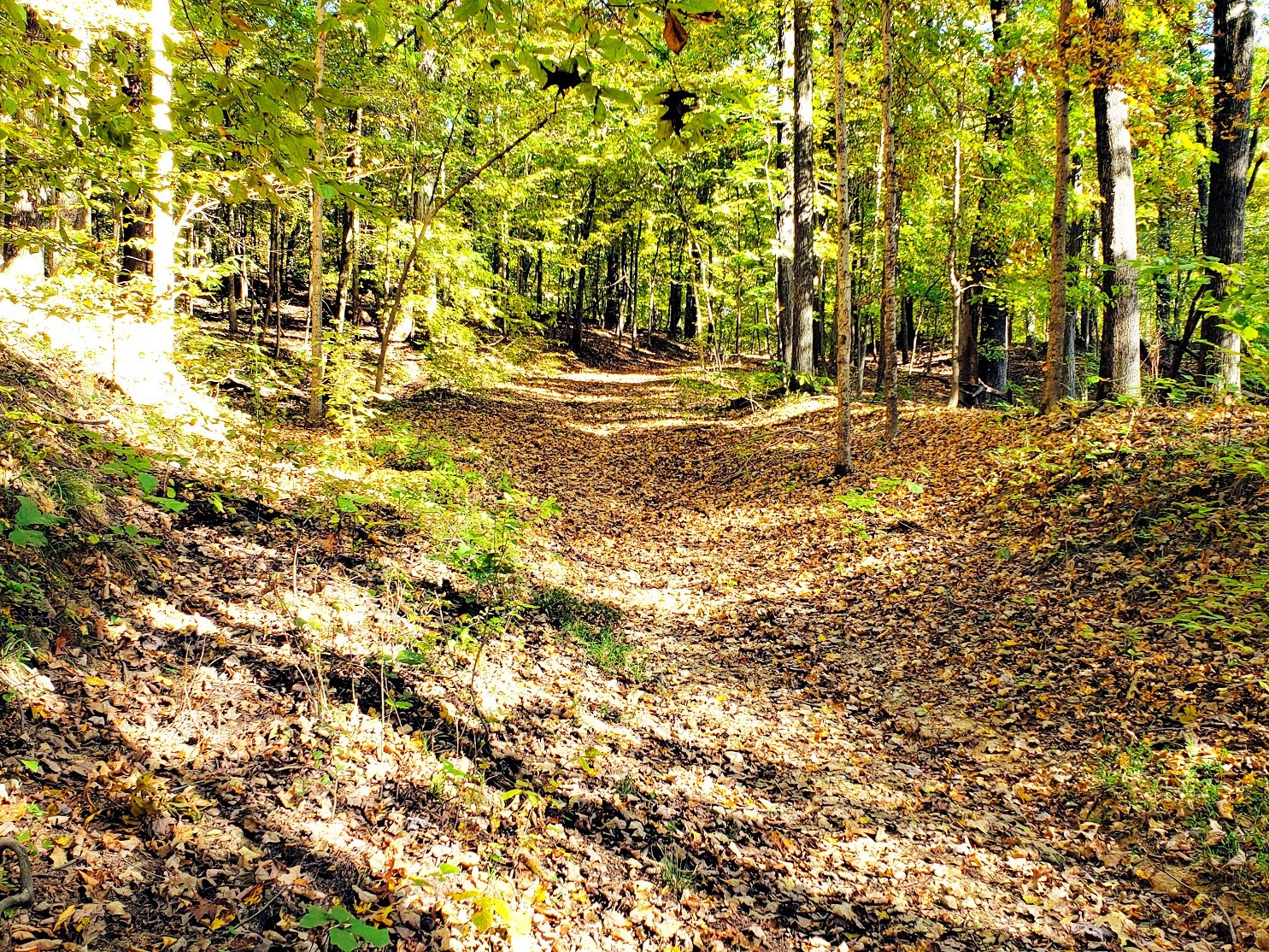
Land Between the Lakes has a trail for a quarter-hour leg stretch and another that can occupy several days. The useful question is not which trail is “best,” but which route fits your time, mobility, navigation experience and the part of LBL you already plan to visit.
Compare major LBL hiking trails
| Trail | Distance / route | Use | Planning range | Best fit |
|---|---|---|---|---|
| Long Creek | ¼ mile, paved out-and-back | Walking; wheelchair accessible | 15–30 minutes | The easiest nature walk and mixed-mobility groups |
| Center Furnace | 0.3-mile interpretive walk; some stairs | Foot traffic only | About 30 minutes | Short iron-industry history stop |
| Hematite Lake | 2.2-mile loop | Hiking | 1–1½ hours | Boardwalk, wetlands and a first full trail |
| Honker Lake | 4.6-mile loop | Hiking | 2–3 hours | Wildlife watchers and a quieter lake circuit |
| Canal Loop | 11-mile loop; four connectors create shorter or longer choices | Hiking and biking | 4–6 hours for the main loop | Lake views, hills and a substantial north-end outing |
| Central Hardwoods | 11 miles end to end: 2.5 paved, 8.5 compacted stone | Hiking and biking | Choose an out-and-back or arrange a shuttle | Gentler grades and predictable surfaces |
| Energy Lake Trail | 4.6-mile figure-eight loop | Hiking and biking | 2–3 hours | Flexible small and large loops near Energy Lake |
| Hillman Heritage | 5.47-mile trail network | Hiking and biking | 2–3 hours | Historic roads near Hillman Ferry |
| North/South—North End | 31 miles, point to point | Hiking and biking | Long day sections or multi-day trip | Rugged backcountry and experienced users |
| North/South—South End | 27 miles, point to point; active detour | Hiking, with one shared equestrian section | Long day sections or multi-day trip | Quieter southern backcountry |
| Fort Henry system | Nine connected trails, about 27 miles in the Forest Service directory; closures affect some segments | Hiking and biking | Build a route from the current map | Solitude, history and southern LBL |
Choose a trailhead and save its map
Distances alone do not get you to a safe starting point. These are the access points identified by the Forest Service, not invented map pins. Open the PDF before you drive; some routes have multiple entrances, and posted closures always take precedence.
Nature Watch walks
Hematite Lake starts at the Hematite Lake Picnic Area. Center Furnace is a separate 0.3-mile history stop with some stairs. Honker has mapped Nature Watch access; Long Creek is a separate paved trail. Nature Station trails map (PDF).
North and central LBL
Canal Loop: Kentucky Lake Scenic Drive or North Welcome Station. Map. Hillman Heritage: public lot before Hillman Ferry gatehouse; non-campers register. Map.
Across the peninsula
Central Hardwoods has seven access points, including Fenton, Golden Pond and Cumberland. Map. North/South North End: North Welcome Station or Golden Pond. Map.
South end: closure check essential
North/South South End: Golden Pond, Homeplace or South Welcome Station; a detour affects the southern route. Map. Fort Henry: mapped access at FS Road 232, Piney, Boswell Landing and South Welcome; portions remain closed. Map.
Read current official trail alerts before every trip, and keep our LBL Maps hub handy for regional orientation and offline downloads.
Choose by the day you want
Easy and accessible
Long Creek is the clearest choice. The paved North Welcome Station trail is another accessible option, running two miles toward Hillman Ferry Road.
Family nature loop
Hematite Lake balances a manageable distance with wetland boardwalks and changing habitats. Allow time to stop rather than treating the mileage as a race.
Half-day wildlife hike
Honker Lake is longer and quieter. Carry water, expect natural surfaces and use the Nature Watch trail map.
Longer challenge
Canal Loop, Fort Henry and both halves of the North/South Trail demand more planning. Read the current closure notice and carry an offline map.
Energy Lake option: The 4.6-mile figure-eight trail begins at Energy Dam Day Use Area. Yellow and blue loops can be combined or walked separately. Download the official Energy Lake map (PDF); camping is not allowed along the trail.
Before walking away from the vehicle
- Download the official trail map and current alerts.
- Note the Forest Service road number and trailhead.
- Confirm whether the route is hiking-only or shared with bicycles or horses.
- Carry water and do not assume a natural source is safe or available.
- Plan conservatively during heat, storms and hunting seasons.
- Tell someone the route and expected return time.
Start with our First Visit guide if you are still choosing an area, or compare campgrounds for an early trail start.