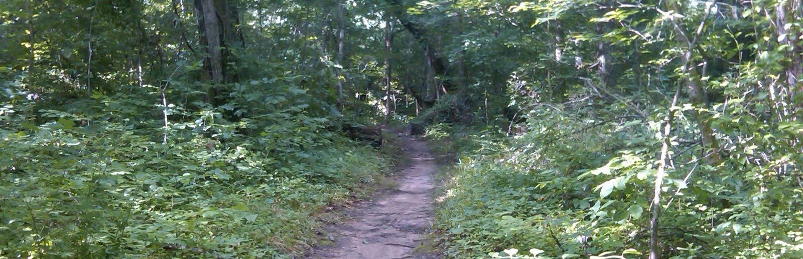
The North/South Trail’s north end is a 31-mile route, but it is also a string of day hikes if you use its mapped road crossings. It runs from the North Welcome Station toward Golden Pond through lakeshore stretches, wooded ridges and broad bottoms. Decide whether you are hiking a section or arranging a point-to-point trip before you leave the car.
North end: about 31 miles, point to point
Use: hiking, backpacking and biking
Main trailheads: North Welcome Station and Golden Pond Visitor Center
Markings: white diamonds on the main trail; yellow on connectors
Choosing an access point
The Forest Service map marks the two end trailheads and intermediate crossings with numbered roads and lettered points. Use those labeled points to plan a shorter section; a drive to a random shoreline pull-off is not the same as a trailhead. If you begin at North Welcome Station, the map also shows how this trail relates to Canal Loop. Golden Pond Visitor Center makes a clear southern-end reference point.
Time and supplies
The full northern section is a backpacking or ambitious multi-day undertaking. For a day walk, choose a mapped out-and-back or arrange a shuttle and calculate the distance from the map’s segment table. Water is not available on the trail; springs are unreliable. Carry what you need, tell someone the route and expected return, and download the PDF before mobile service disappears.
The north end allows bicycles, unlike the South End. Wet trail conditions and fallen trees can still change what is practical. Compare the Canal Loop for a shorter north-end circuit.
Download the official North End map (PDF) · Check current Forest Service alerts · Continue to the South End guide