Canal Loop is a trail system, not one compulsory 11-mile hike. Four connectors let you choose anything from a short loop to the full outer circuit. That flexibility is the reason to start with the map, not a distance quoted on a search result.
Main loop: about 11 miles; connectors add roughly 3 miles of trail
Shortest mapped choice: about 1.4 miles using Connector A
Use: hiking and mountain biking
Trailheads: Kentucky Lake Scenic Drive and North Welcome Station
Difficulty: moderate to difficult on the longer routes
Choose the right loop before parking
For the short option, start on Kentucky Lake Scenic Drive and use Connector A with part of the outer loop. Connector B meets Woodlands Trace; Connector C is reached from inside the loop, so it is not a roadside starting point. Connector D runs from North Welcome Station into the trail system. The official PDF marks these connections and the road crossings; save it offline.
On the ground
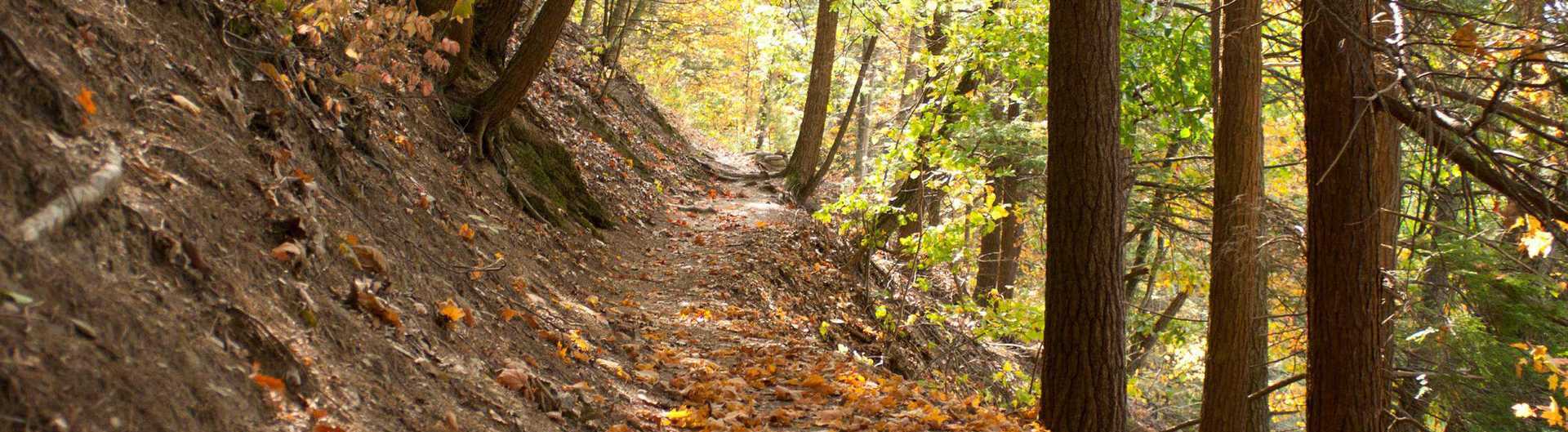
The Kentucky Lake side has challenging hills and the single-track is popular with mountain bikers, especially on weekends. Expect shared traffic, creek crossings and changing footing. The full outer loop is a substantial outing, not a casual walk from the welcome station. Take enough water for the route you actually choose; the Forest Service warns that trail springs are unreliable.
If your party wants a gentler surface, look at Central Hardwoods. For another north-end long route, compare the North/South Trail’s north end.
Download the official Canal Loop map (PDF) · Check current Forest Service alerts · Browse all LBL maps