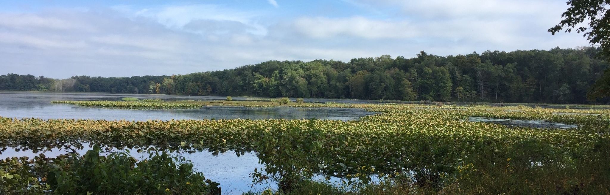
Hematite Lake is the walk I would choose when the group wants a real trail without committing the whole day. The 2.2-mile loop moves from lakeshore into woods and across a long wetland boardwalk. It is a Nature Watch hike, not a paved path around a pond.
Distance: 2.2-mile loop
Allow: about 1½ hours, more for wildlife stops
Use: foot traffic only
Start: Hematite Lake Picnic Area, off Silver Trail Road
Finding the trailhead
Set your destination to Hematite Lake Picnic Area in the Woodlands Nature Watch area. The Forest Service map marks the parking area, lake loop and nearby roads; save it before leaving service. Do not substitute the Woodlands Nature Station parking lot for this trailhead. Picnic tables and toilets are listed at the Hematite entrance.
What the walk is like
The boardwalk crosses a beaver marsh, but the rest of the loop includes natural tread and some hills. After rain, expect wet ground beyond the boards. This is a better choice for someone comfortable on uneven trail than for someone who needs a fully accessible route. For a short paved walk, choose Long Creek instead.
Before you go
Hematite and Honker lakes can have seasonal water-use restrictions while their walking trails remain open. Check the current official alert rather than assuming the water and trail share the same status. Bring water, allow time for the boardwalk, and leave wildlife undisturbed.
Download the official Nature Station trails map (PDF) · Check current Forest Service alerts · Browse all LBL maps
Also nearby: Honker Lake Trail and Woodlands Nature Station.