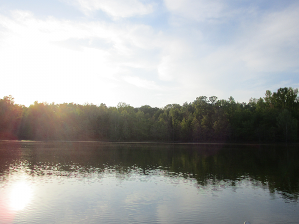
Honker Lake asks for more time than Hematite. The 4.6-mile loop passes shoreline, forest and open ground around a shallow lake made for wildlife. It is a satisfying half-day walk when the plan is to watch and listen, not hurry from one landmark to another.
Distance: 4.6-mile loop
Allow: about 3 hours
Use: foot traffic only
Start: use the marked Honker trail access on the official Nature Station map
Choose your starting point
The official map shows Honker Trail in relation to Woodlands Nature Station, Woodland Walk and the roads into Nature Watch. Pick the marked access that suits your arrival route, then save the map offline. The Nature Station’s address is 3146 Silver Trail Road, Cadiz, Kentucky, but a destination pin for the building is not a substitute for identifying your trail access on the map.
What to expect
The route rolls over moderate ridges and returns to lower ground by the water. White diamond markers identify Honker Trail. Shoreline views and the dam make natural pauses, but sightings of osprey, beaver or waterfowl are possibilities, never promises. Natural tread can be muddy after rain; take water and give yourself daylight to finish.
A shorter alternative
If three hours is too much, Hematite Lake has a 2.2-mile loop and a boardwalk. Woodland Walk starts and ends at the Nature Station parking lot and is shorter still; check its route on the same official PDF.
Honker Lake can be closed seasonally to fishing and boating while the walking trail remains open. Verify the current notice before planning any water activity.
Download the official Nature Station trails map (PDF) · Check current Forest Service alerts · Compare LBL hikes