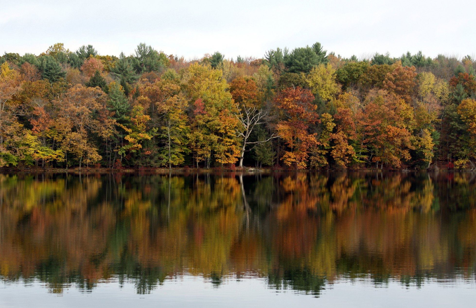
Land Between the Lakes is big enough that “go for a hike” is not much of a plan. The better question is which part of the peninsula you want to explore. A short lakeside walk near the Nature Station feels nothing like a long day on the North/South Trail. Start with a trailhead, download its map, then check the current alerts before you drive in.
For a first walk: the Nature Watch area
Four good starting points sit near the Woodlands Nature Station. Hematite Lake circles water and wetland; Honker Lake is another wildlife-focused loop. Long Creek is shorter, while Center Furnace adds a stop at the remains of the old iron furnace. These are different trailheads, not four names for the same walk. Use the official Nature Station trail map to choose the right one.
For a longer half-day
At the north end, Canal Loop gives you wooded ridges and lake views, with shorter loop choices if you do not want the full route. Hillman Heritage is a more modest walk with the traces of a former community. The Central Hardwoods Trail crosses the peninsula; choose a section and arrange your return rather than assuming it is a loop.
For a full trail day
The North/South Trail rewards a deliberate plan: pick a segment, know where your second vehicle or pickup will be, and carry the relevant north or south map. In the south, the Fort Henry system offers several route combinations, but storm-related closures have affected parts of it. Do not choose a loop from an old screenshot. Check the Forest Service alerts and the latest map on the day you go.
Before you leave pavement
Cell service can be unreliable on the peninsula, and a trailhead may be some distance from the main road. Save the official maps offline, bring water and a way to navigate without a signal, and allow more daylight than the mileage alone suggests. Our hiking comparison puts trail lengths, starting points and guide links in one place.
Trail information checked October 2, 2026. Conditions can change after publication; the Forest Service’s current notices take precedence.